In today’s rapidly evolving technological landscape, property management, especially concerning land parcels, has drastically changed. The integration of modern technologies allows for more precise, efficient, and streamlined monitoring and management processes. This article highlights various contemporary technologies that are revolutionizing how land parcels are monitored and managed.
Introduction
Managing and monitoring land parcels require a combination of accurate data gathering, timely analysis, and responsive decision-making. Modern technology steps in to simplify these processes, leveraging advancements in various fields to create a cohesive and efficient management system.
Geographic Information Systems (GIS)
1. Spatial Analysis
GIS technology has revolutionized land monitoring by enabling spatial analysis. This allows for detailed mapping and analysis of various land attributes, assisting in better planning and decision-making processes. Through GIS, stakeholders can visualize data in ways that reveal relationships, patterns, and trends.
2. Remote Sensing
Remote sensing technology embedded within GIS facilitates the collection of data from distant locations through satellite or high-flying aircrafts. This has been instrumental in land cover classification, environmental monitoring, and disaster management.
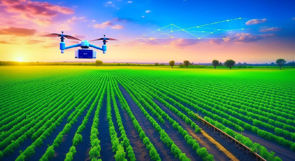
Drone Technology
3. Aerial Surveying
Drones have modernized land surveying by offering a vantage point that was not accessible before. Through aerial surveying, land managers can obtain high-resolution images that assist in monitoring land changes, managing assets, and planning infrastructure development (Nature).
4. Precision Agriculture
Drones are playing a pivotal role in precision agriculture, which involves monitoring crop health, optimizing irrigation, and managing resources more efficiently. The technology allows for data-driven decisions, enhancing productivity and sustainability (Sciencedirect).
Artificial Intelligence (AI) and Machine Learning
5. Predictive Analytics
AI and machine learning technologies have introduced predictive analytics in land parcel management. Through analyzing historical data, these technologies assist in forecasting trends and making data-driven decisions, thereby optimizing land use and management.
6. Automated Image Analysis
AI facilitates automated image analysis by interpreting satellite and drone imagery to monitor land changes. This automation not only speeds up the process but also enhances the accuracy of data interpretation.
Blockchain Technology
7. Land Registry Management
Blockchain technology has emerged as a potent tool in managing land registries. By offering a decentralized and immutable ledger, it ensures transparency and security in land transactions, reducing the risk of fraud and disputes.
8. Smart Contracts
Blockchain also facilitates the execution of smart contracts, which automate the transaction process, reducing the time and cost involved in land sales and transfers.
Internet of Things (IoT)
9. Real-Time Monitoring
IoT devices, through their network of interconnected devices, provide real-time monitoring of land parcels. This ensures better management of resources and timely intervention in case of any discrepancies.
10. Smart Irrigation
In the agricultural sector, IoT has introduced smart irrigation systems that optimize water usage based on real-time data, promoting sustainable land management.
Conclusion
Modern technologies are reshaping the landscape of land parcel monitoring and management, offering solutions that are more accurate, efficient, and data-driven. As the integration of these technologies continues to evolve, stakeholders can look forward to a future where land management is characterized by transparency, sustainability, and optimized resource utilization. It is incumbent upon professionals in the sector to embrace these technologies to leverage the myriad benefits they offer.